
UPDATED: The Flood Watch issued for the Trent Severn-Waterway in the jurisdiction of Otonabee Conservation is upgraded to a FLOOD WARNING effective immediately.
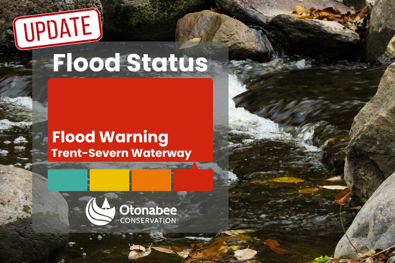
SUBJECT: FLOOD WARNING extended for the Trent-Severn Waterway in the jurisdiction of Otonabee Conservation. Flooding of low-lying, flood-prone areas along the Trent-Severn Waterway is imminent or occurring and expected to worsen as water levels and flows continue to rise.
FLOOD WATCH upgraded from Watershed Conditions Statement – Water Safety for local watercourses within the jurisdiction of Otonabee Conservation. Flooding of low-lying, flood-prone areas along local watercourses is possible.
ISSUED TO: Municipalities, water management authorities, Indigenous communities, Ministry of Natural Resources, and Otonabee Conservation’s other partners in flood emergency management.
WEATHER: Starting Wednesday, April 15, through Sunday, April 19, the Haliburton-Reservoir Lakes and local regions are expected to experience a 5-day period of sustained rainfall combined with above-average temperatures. Forecasts suggest a potential 5-day rainfall accumulation of 50 to 65 millimetres. There is a risk for locally higher amounts due to thunderstorms.
FLOOD RISK TRENT-SEVERN WATERWAY: Continued rising water levels are anticipated in the Kawartha Lakes, Otonabee River, Rice Lake, and Trent River to Hastings over the next seven days due to significant runoff from rain and snowmelt in the Haliburton-Reservoir Lakes region. As a result, flooding in low-lying areas is imminent or occurring.
FLOOD RISK LOCAL WATERCOUSES: The current saturated ground has a reduced capacity to absorb the forecasted rain. As a result, rainfall run-off may cause:
- Rapidly increasing water levels and flows, creating the potential for flooding.
- Overland flow and ponding of water on roads, in low-lying areas and locations with poor drainage.
ACTION: Municipalities, Indigenous communities, local water managers, emergency services and individual landowners along the shores of the Trent-Severn Waterway and local watercourses are advised to take precautions to protect themselves and their properties against flooding. Close monitoring of local weather forecasts and water levels is recommended. Water levels can be monitored at Trent-Severn Waterway, Water Survey of Canada and Otonabee Conservation websites.
This FLOOD WARNING and FLOOD WATCH message will expire Thursday, April 23, 2026, at 3:00p.m. unless up-dated earlier.
Neil MacFarlane | Flood Forecasting & Warning Duty Officer | 705-745-5791 x 231
250 Milroy Drive, Peterborough, ON K9H 7M9